

(Updates to page coming soon!)
FAQs
-
LiDAR: (Light Detection And Ranging), a 3D scanning instrument that pulses lasers in a panoramic sweep to record 3D (XYZ) points on the surfaces of objects in its direct field of view (see video below). There are two types: 1. Terrestrial LiDAR Scanners (TLS), which sit on tripods and requires multiple setup scan locations to capture the entirety of an environment, and 2. Mobile scanners, which are handheld, or attached to vehicles, drones, or planes.
Laser Scanning: A general term for the exercise of using a LiDAR scanner to scan a particular environment or object.
Registration: The critical step in the processing of TLS point cloud data, where individual scans get stitched together into one complete whole. Mobile LiDAR data is typically processed in real-time.
Point Cloud: A term coined to describe “registered” laser scanner data, because it literally looks like a cloud of points when viewed up close.
Classification or Segmentation: The process (either manual or automated) of grouping points by object of interest, like vegetation, buildings, pipes, etc.
Geolocation: The step of moving/scaling/rotating a point cloud to align with the real-world surveying coordinate system of a project.
Downsampling/Decimation: A process used to reduce (thin out) the number of points in a point cloud while preserving the overall structure of the objects of interest.
Meshing: the process of converting a point cloud into a triangulated 3D surface. This is a digital format that 3D modeling applications can digest and manipulate.
Gaussian Splat: a way to represent a 3D scene using millions of small, blurry dots that blend together to recreate images from any viewing angle (kind of like digital pointillism for 3D).
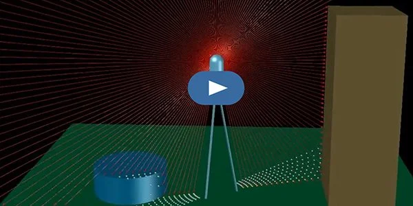
How Does a LiDAR scanner work?
“What is a Point Cloud?”
Interactive Point Clouds
Click below to navigate a 3D point cloud environment
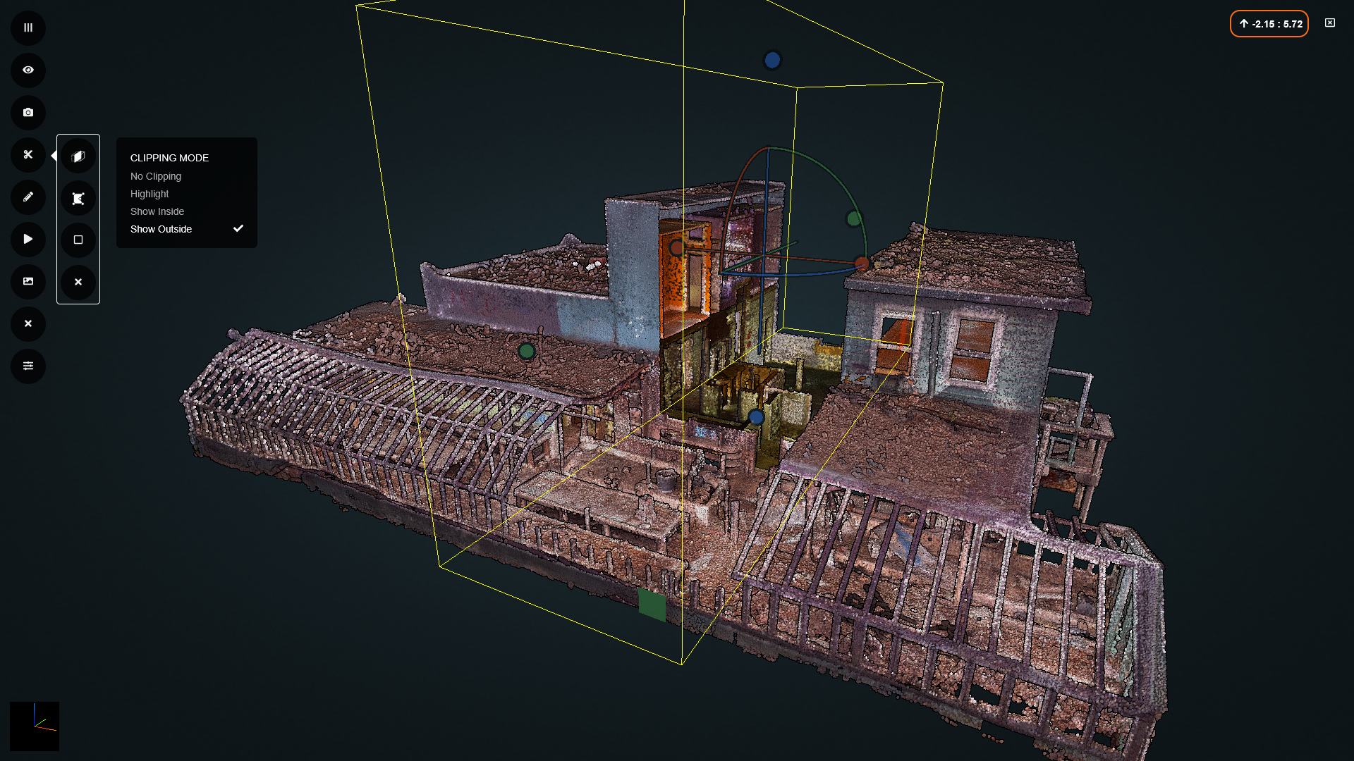
McPhail’s Greenhouse and Flower Shop
This iconic Austin local florist was scanned with the help of fundraising, just prior to it’s demolition in 2024.
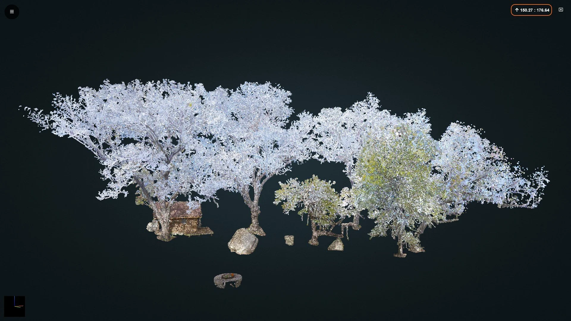
Sample Heritage Tree Data
(Navigation Pro Tip: Access navigation tools, like clipping, from the menu on the left.)